Mazandaran — a climate atlas
Download the PDF — 23 MBZenodo record
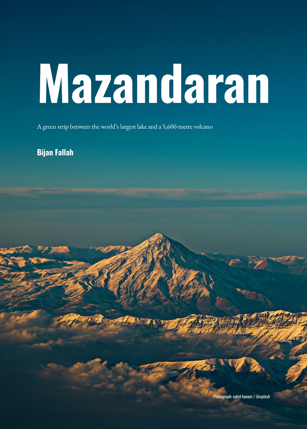
Mazandaran is the province I am from: a strip of Iran between the Caspian, which is the largest lake on earth, and the Alborz, which carries a 5,600-metre volcano. A European reader tends to picture Iran as desert. The book answers that with arithmetic rather than protest — Ramsar takes 1,238 mm of rain a year on 89 rain days, against Hamburg's 771 mm on 188; two thirds of the province lies above 500 m; and the forest on its slopes held beech, oak, elm and hornbeam through the last glacial, while Europe was steppe and tundra.
Every number printed on a plate was computed from open data by the pipeline published with the book, and stored with the method that produced it. Every claim that is not a number resolves to a source with a retrieval date. Ninety acceptance checks run on each build, and the one that still fails is named on the last page instead of hidden. Where the data cannot answer, the book says so: all four rain gauges in the province sit at sea level, so above 500 m the rainfall map is a model no gauge has checked, and the plate says that.
Text, maps and design CC BY 4.0; the code MIT; the two photographs under the Unsplash License and not sub-licensable. Free to read, translate and reprint, with credit.